Skip to Content
Community Geography Collaboratory

Community Geography Collaboratory

A hub for community-driven maps & spatial data in Northeast Ohio

  • Home
  • Data: Environmental
  • Data: Social
  • Data: Economic
  • Data by Location
  • Visit us in McGilvrey Hall
Home Maps People & Culture Mapping May 4
Updated on 2026-01-022022-01-11Maps People & Culture

Mapping May 4

Jennifer Mapes

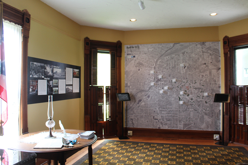
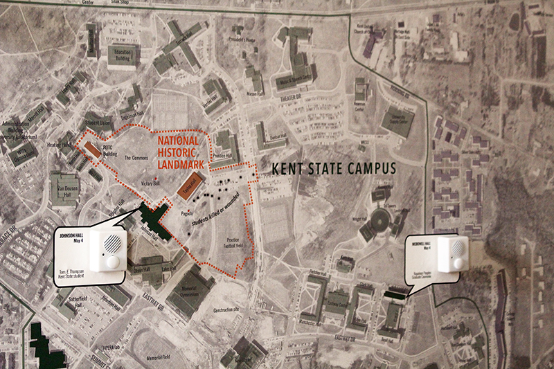
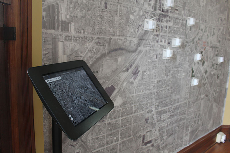
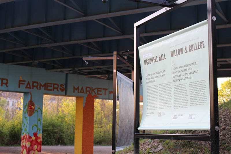
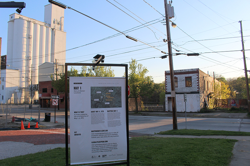
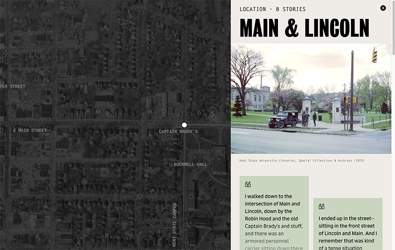
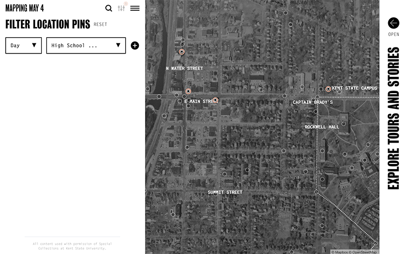
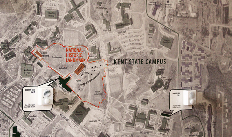
This project maps stories from the Kent State Shootings Oral Histories Project onto a map of Kent in 1970. The MappingMay4.kent.edu website provides an interactive experience, or you can visit our maps in person at the Kent State Historical Society & Museum or May 4 Visitor Center.

historyKentKentStateShootingmapssocial
Previous Article Campus trees
Next Article Downtown Kent walking tours

Recommended Articles

Updated on 2026-01-022022-01-11Maps People & Culture

Downtown Kent walking tours

Updated on 2026-01-022026-01-02Environment Maps People & Culture

Park Access in Portage County

Updated on 2025-12-152025-01-14Maps People & Culture

Urban renewal in Warren, Ohio

Data for Northeast Ohio

  • Data by Location
  • Data: Economic
  • Data: Environmental
  • Data: Social

Map news

  • Park Access in Portage County
  • The History of Kent State’s Wetlands
  • Mapping local elections
  • Who lived here? Mapping Kent’s South End
  • Urban renewal in Warren, Ohio
© Copyright 2026 Community Geography Collaboratory. All Rights Reserved. Yummy Recipe | Developed By Blossom Themes. Powered by WordPress.
×

Log In

Forgot Password?

Not registered yet? Create an Account