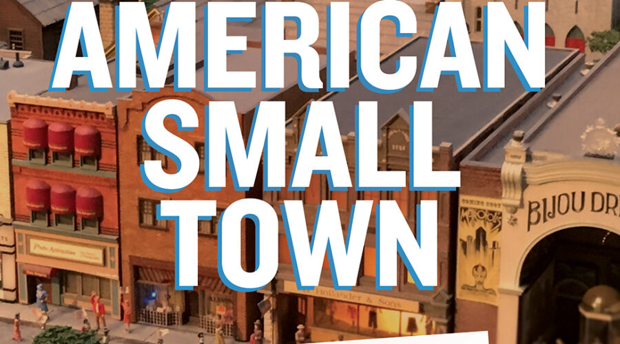
Winner of the J.B. Jackson Prize About the bookThe New American Small Town is a book that started as my dissertation, an attempt to understand …
The New American Small Town: Lessons for sustainable urban futures

Community Geography Collaboratory
A hub for community-driven maps & spatial data in Northeast Ohio
Winner of the J.B. Jackson Prize About the bookThe New American Small Town is a book that started as my dissertation, an attempt to understand …
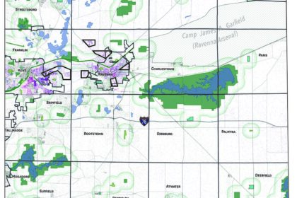
This map was created at the request of and in collaboration with the League of Women Voters Kent to localize the concept of park equity. …
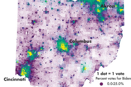
Precinct-level voting results help us better understand political views at the neighborhood scale. Unfortunately, most election results are shared at the county level which does …
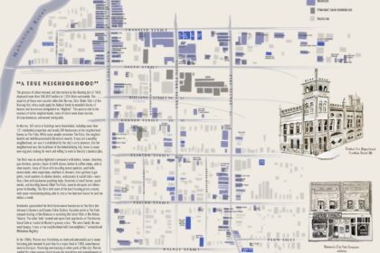
“The History of Kent” (and “The History of” many other communities) is often framed through its wealthy Western European founders. History tours stop at mansions …
The Spring 2024 Seminar in Geography class worked with the Trumbull County Historical Society to map 300+ businesses that were lost to urban renewal in …
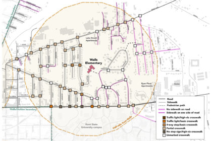
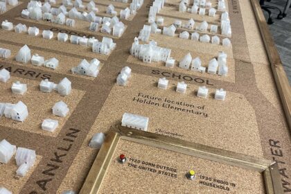
We worked with the City of Kent and Kent City Schools to conduct walk audits, create maps for workshop with stakeholders, and analyze survey results. …

During the early months of COVID, when daycare was closed, we walked our kid around the block twice a day. This is what we saw. …

Published in May 2021, this map illustrates the relationship between pharmacies offering the COVID vaccine, population density, and race in Akron and its suburbs. It …
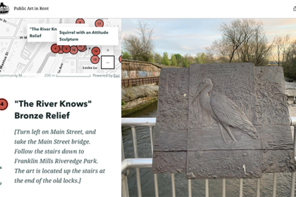
As a MapIt! graduate assistant, Josie Myers created several StoryMap walking tours for Main Street Kent, including the History of Industry and Public Art walking …
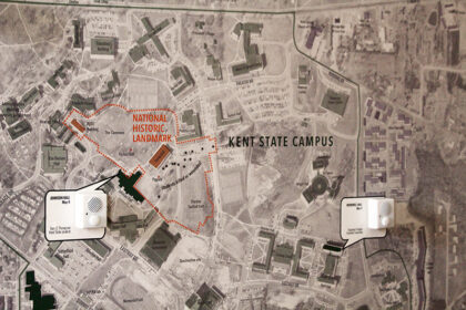
This project maps stories from the Kent State Shootings Oral Histories Project onto a map of Kent in 1970. The MappingMay4.kent.edu website provides an interactive …