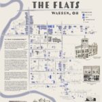
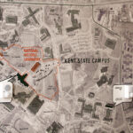
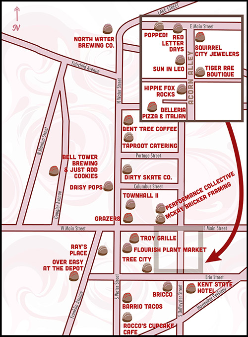
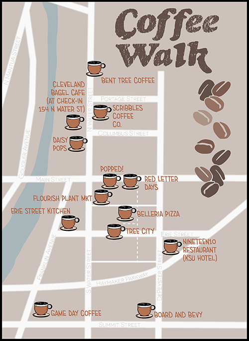
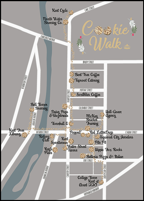
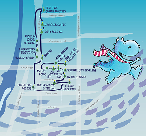
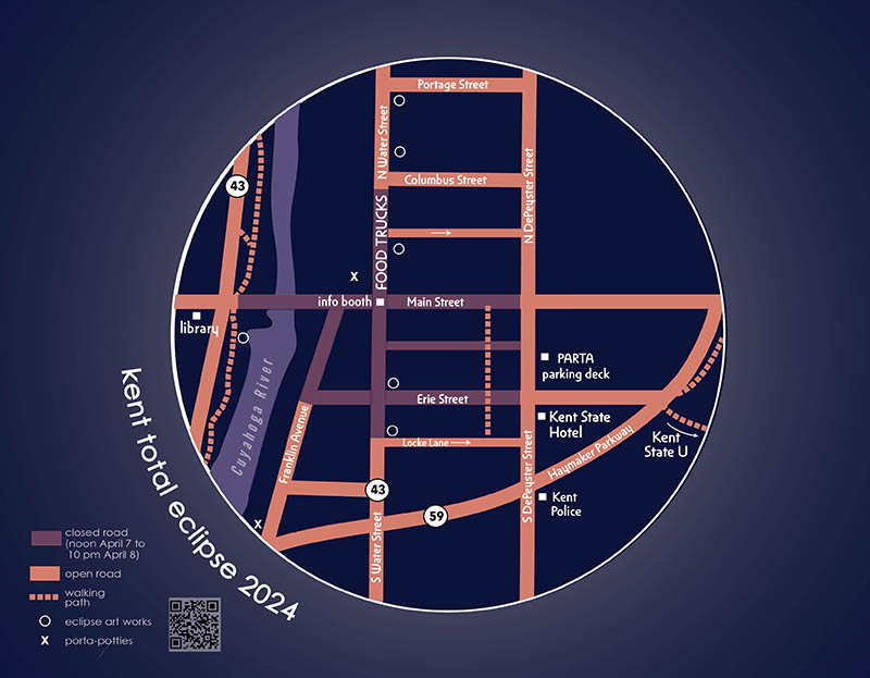
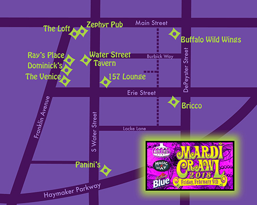
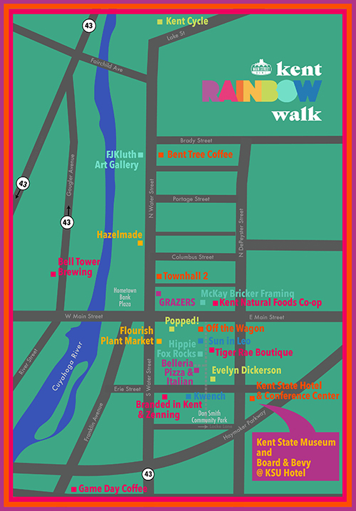
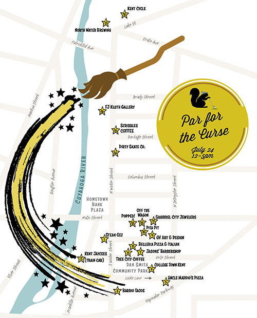
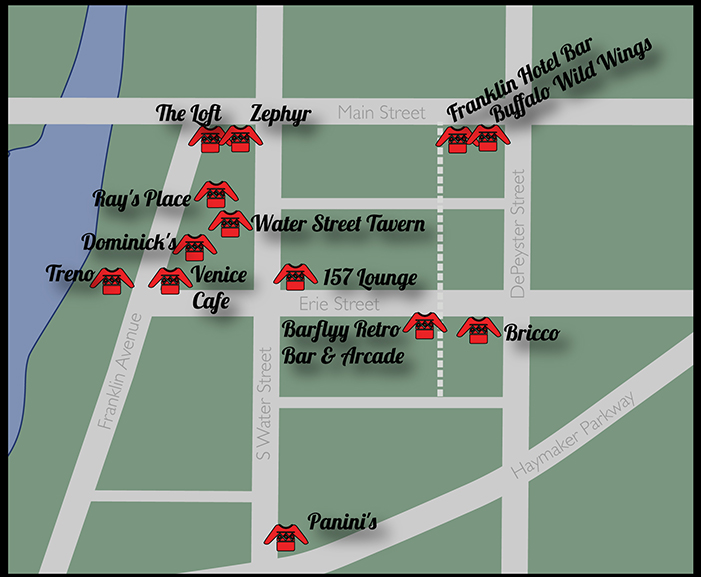
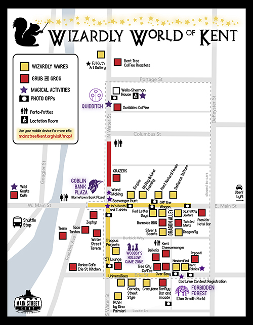
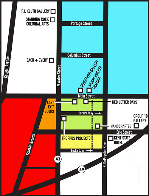
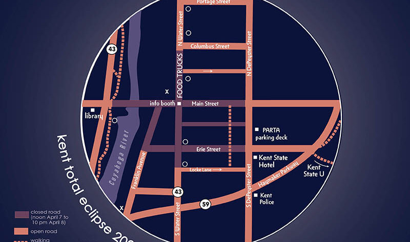
I work with Main Street Kent to map businesses for wayfinding and festivals. These are just a few of the maps I’ve made with them over the past 12 years.
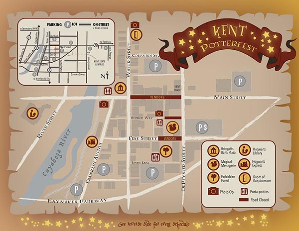
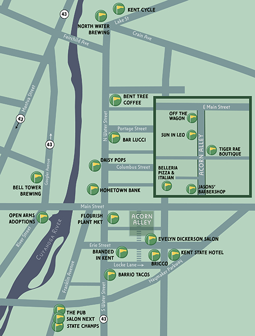

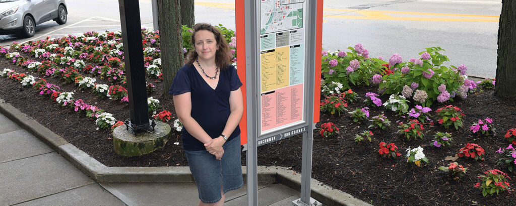
I also regularly update the downtown Kent wayfinding map that appears in five kiosks downtown.

Community Geography Collaboratory
A hub for community-driven maps & spatial data in Northeast Ohio
I work with Main Street Kent to map businesses for wayfinding and festivals. These are just a few of the maps I’ve made with them over the past 12 years.
I also regularly update the downtown Kent wayfinding map that appears in five kiosks downtown.