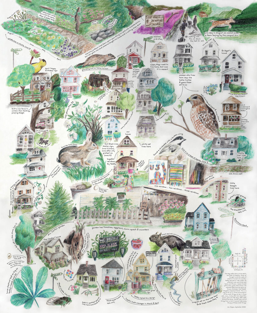
During the early months of COVID, when daycare was closed, we walked our kid around the block twice a day. This is what we saw. Published in Maplines and Landscape Architecture Magazine.

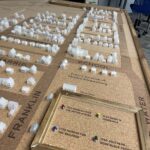
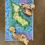
Community Geography Collaboratory
A hub for community-driven maps & spatial data in Northeast Ohio

During the early months of COVID, when daycare was closed, we walked our kid around the block twice a day. This is what we saw. Published in Maplines and Landscape Architecture Magazine.