Skip to Content
Community Geography Collaboratory

Community Geography Collaboratory

A hub for community-driven maps & spatial data in Northeast Ohio

  • Home
  • Data: Environmental
  • Data: Social
  • Data: Economic
  • Data by Location
  • Visit us in McGilvrey Hall
Home Maps People & Culture Safe Routes to School
Updated on 2025-12-152024-02-17Maps People & Culture

Safe Routes to School

Jennifer Mapes

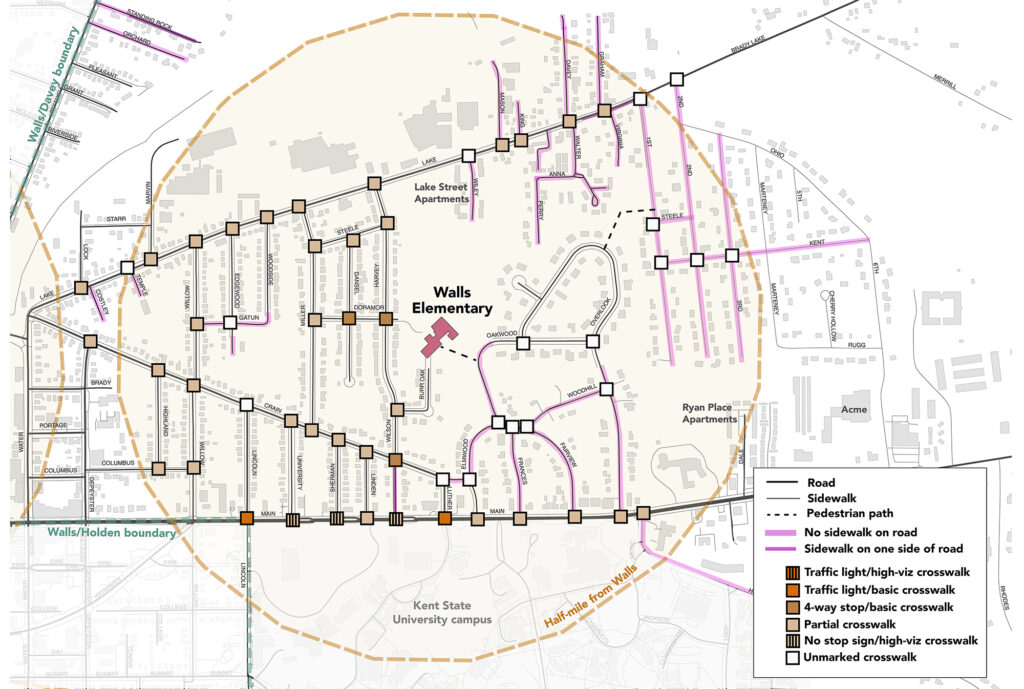
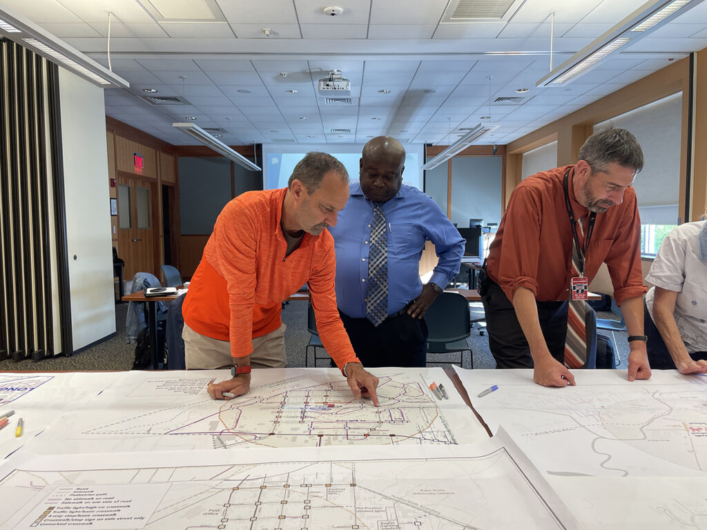
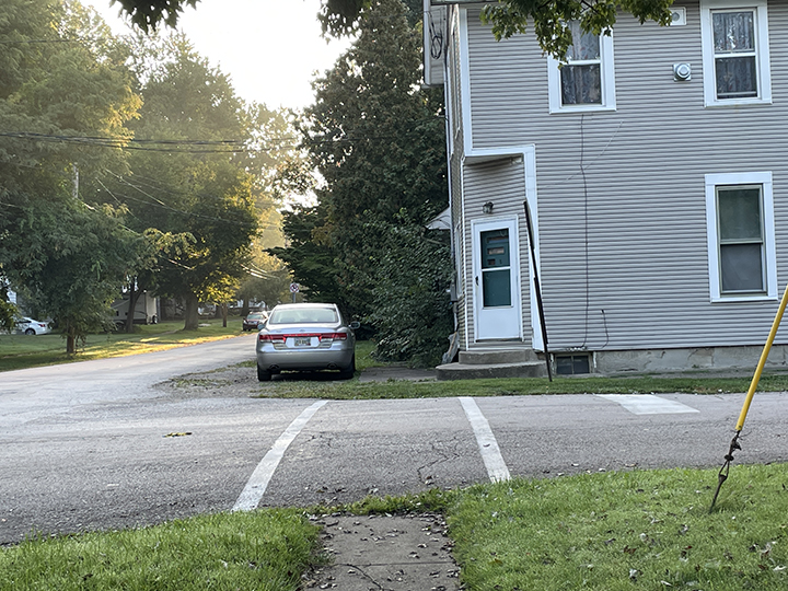
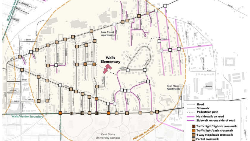
We worked with the City of Kent and Kent City Schools to conduct walk audits, create maps for workshop with stakeholders, and analyze survey results. These maps help to visualize road designs that prevent parents and students from feeling safe walking to school. This community project informed “A critical assessment of the role of mapping in Ohio Safe Routes to School travel plans.“

Previous Article Bioblitz observations
Next Article Urban renewal in Warren, Ohio

Recommended Articles

Updated on 2025-12-152025-09-11Maps People & Culture

Mapping local elections

Updated on 2026-01-022022-01-21Maps People & Culture

Vaccination availability in Akron

Updated on 2026-01-022022-01-11Maps People & Culture

Mapping May 4

Data for Northeast Ohio

  • Data by Location
  • Data: Economic
  • Data: Environmental
  • Data: Social

Map news

  • Park Access in Portage County
  • The History of Kent State’s Wetlands
  • Mapping local elections
  • Who lived here? Mapping Kent’s South End
  • Urban renewal in Warren, Ohio
© Copyright 2026 Community Geography Collaboratory. All Rights Reserved. Yummy Recipe | Developed By Blossom Themes. Powered by WordPress.
×

Log In

Forgot Password?

Not registered yet? Create an Account